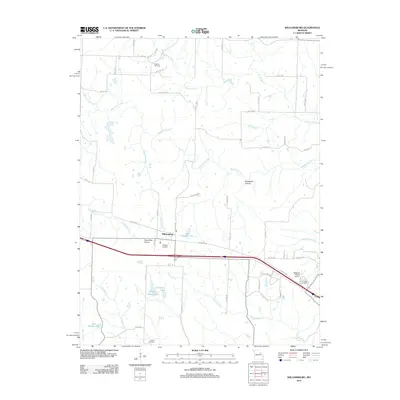
2012 Map of Williamsburg
USGS Topo · Published 2012About this map
Williamsburg serves as a central hub in this section of Callaway County, situated near the historic Nine Mile Prairie. The landscape is defined by a dense network of watercourses, including the Loutre River, Whetstone Creek, and Bachelor Creek, which have shaped the local geography and land use for generations. Small private aviation sites like Eckerts Airstrip and Redgate Ranch Airport reflect the rural character of the early 21st century, while several scattered burial grounds such as Augusta Cemetery, Antioch Cemetery, and Covington Cemetery offer significant points of interest for genealogists tracing family histories in the area.
Find a feature on this map
60 named features on this map. Tap any name to fly to it.
Don’t see what you’re looking for? This feature index may not catch every label — zoom into the map to look around manually.
Map Details
Editions of this 2012 Williamsburg Map
This is the sole edition of this map. No revisions or reprints were ever made.
Other maps of this area

1890 · Mexico
USGS Topo · 1:125,000

1890 · Fulton
USGS Topo · 1:125,000

1928 · Fulton
USGS Topo · 1:62,500

1931 · Fulton
USGS Topo · 1:62,500

1932 · Mexico
USGS Topo · 1:62,500

1940 · Montgomery City
USGS Topo · 1:62,500

1942 · Montgomery City
USGS Topo · 1:62,500

1942 · Wellsville
USGS Topo · 1:62,500

1948 · Quincy
USGS Topo · 1:250,000

1949 · Saint Louis
USGS Topo · 1:250,000