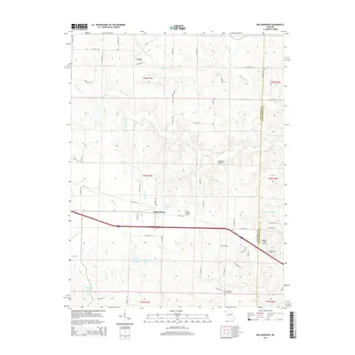
2015 Map of Williamsburg
USGS Topo · Published 2015About this map
Williamsburg serves as the central hub of this Callaway County landscape, situated along the path of Old US-40 and the modern interstate corridor. The map reveals a rural economy shaped by aviation and family-held lands, featuring the Flying V Ranch Airport and the Redgate Ranch Airport near the border with Montgomery County. The drainage network is particularly dense here, with the Loutre River and its various tributaries like Bachelor Creek and Whetstone Creek cutting through the terrain. Genealogists will find significant value in the documentation of several local burial grounds, including Augusta Cemetery in the north and the Holt-Covington Cemetery to the east. The presence of numerous small reservoirs and private lakes, such as John Gasper Lake and Eugene Hooks Lake, suggests a landscape managed for both agriculture and private recreation in the early 21st century.
Find a feature on this map
71 named features on this map. Tap any name to fly to it.
Don’t see what you’re looking for? This feature index may not catch every label — zoom into the map to look around manually.
Map Details
Editions of this 2015 Williamsburg Map
This is the sole edition of this map. No revisions or reprints were ever made.
Other maps of this area

1890 · Mexico
USGS Topo · 1:125,000

1890 · Fulton
USGS Topo · 1:125,000

1928 · Fulton
USGS Topo · 1:62,500

1931 · Fulton
USGS Topo · 1:62,500

1932 · Mexico
USGS Topo · 1:62,500

1940 · Montgomery City
USGS Topo · 1:62,500

1942 · Montgomery City
USGS Topo · 1:62,500

1942 · Wellsville
USGS Topo · 1:62,500

1948 · Quincy
USGS Topo · 1:250,000

1949 · Saint Louis
USGS Topo · 1:250,000