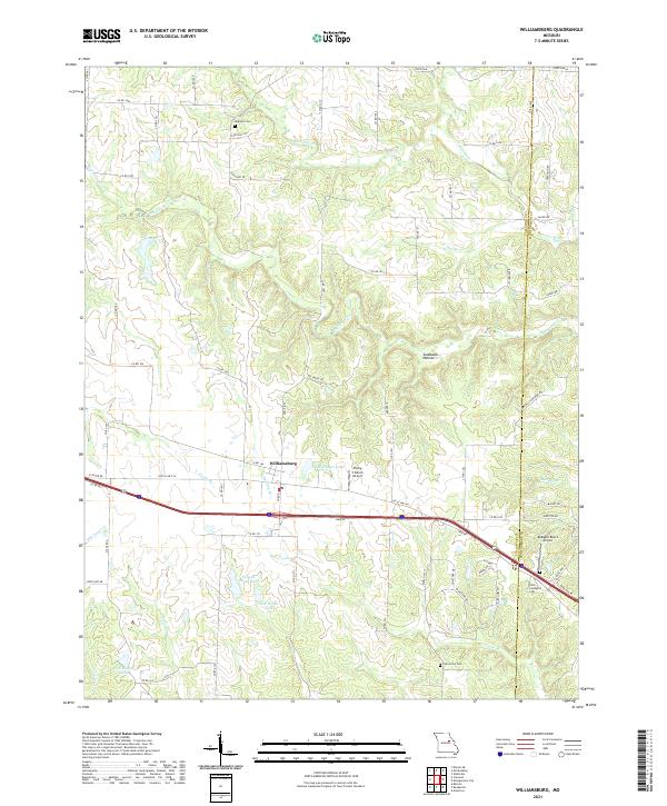
2021 Map of Williamsburg
USGS Topo · Published 2021About this map
Williamsburg serves as a central hub for this portion of the Missouri landscape, situated near the intersection of modern transport corridors and old country routes. The terrain is defined by a dense network of waterways, including the Loutre River and Whetstone Cr, which have carved out features like Sandbank Hollow. This 2021 survey reveals a mix of agricultural heritage and small-scale aviation, with both Flying V Ranch Airport and Redgate Ranch Airport marking the rural landscape.
Find a feature on this map
76 named features on this map. Tap any name to fly to it.
Don’t see what you’re looking for? This feature index may not catch every label — zoom into the map to look around manually.
Map Details
Editions of this 2021 Williamsburg Map
This is the sole edition of this map. No revisions or reprints were ever made.
Other maps of this area

1890 · Mexico
USGS Topo · 1:125,000

1890 · Fulton
USGS Topo · 1:125,000

1928 · Fulton
USGS Topo · 1:62,500

1931 · Fulton
USGS Topo · 1:62,500

1932 · Mexico
USGS Topo · 1:62,500

1940 · Montgomery City
USGS Topo · 1:62,500

1942 · Montgomery City
USGS Topo · 1:62,500

1942 · Wellsville
USGS Topo · 1:62,500

1948 · Quincy
USGS Topo · 1:250,000

1949 · Saint Louis
USGS Topo · 1:250,000