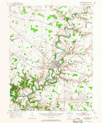
1953 Map of Williamsburg
USGS Topo · Published 1967About this map
Williamsburg serves as the focal point of this mid-century survey, situated along the winding loops of the East Fork Little Miami River. The landscape is defined by the deeply incised valleys of Todd Run, Kain Run, and Cain Run, which carve through the plateau. Transportation in the early 1950s was anchored by the Norfolk and Western railroad, which passes through Afton and the center of Williamsburg. Small rural centers like Hennings Mills, New Harmony, and Blowville appear alongside family-named landmarks and local institutions such as Alpine Sch and Maple Grove Ch. The presence of the Coveted Bridge over the river and the rural road network, including De La Palma Road and Jackson Pike, illustrates the connectivity of Clermont and Brown counties before the expansion of modern highways.
Find a feature on this map
49 named features on this map. Tap any name to fly to it.
Don’t see what you’re looking for? This feature index may not catch every label — zoom into the map to look around manually.
Map Details
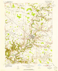
Editions of this 1953 Williamsburg Map
2 editions found
Other maps of this area

1914 · Batavia
USGS Topo · 1:48,000

1916 · Batavia
USGS Topo · 1:62,500

1917 · Sardinia
USGS Topo · 1:62,500

1928 · Higginsport
USGS Topo · 1:48,000

1931 · Felicity
USGS Topo · 1:62,500

1931 · Higginsport
USGS Topo · 1:62,500

1944 · Sardinia
USGS Topo · 1:62,500

1947 · Columbus
USGS Topo · 1:250,000

1953 · Laurel
USGS Topo · 1:24,000

1953 · Bethel
USGS Topo · 1:24,000