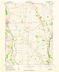
1961 Map of Williamsport
USGS Topo · Published 1963About this map
Williamsport serves as a primary hub in this early 1960s landscape, situated where the Pennsylvania railroad line intersects the agricultural heart of Pickaway and Ross counties. The geography is defined by the broad drainage basin of Deer Creek and the Scioto River, with the historic Erie Canal corridor tracing the eastern edge of the Pickaway Plains. This survey reflects an era when family-held farmsteads still dominated the land, evidenced by the numerous small family burial grounds such as Peck Farm Cem, Hulse Farm Cem, and Dungan Farm Cem.
Find a feature on this map
57 named features on this map. Tap any name to fly to it.
Don’t see what you’re looking for? This feature index may not catch every label — zoom into the map to look around manually.
Map Details
Editions of this 1961 Williamsport Map
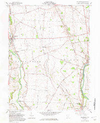
2 editions found
Other maps of this area

1906 · Chillicothe
USGS Topo · 1:62,500

1908 · Chillicothe
USGS Topo · 1:62,500

1911 · Era
USGS Topo · 1:62,500

1912 · Roxabell
USGS Topo · 1:62,500

1913 · Era
USGS Topo · 1:62,500

1914 · Roxabell
USGS Topo · 1:62,500

1914 · Circleville
USGS Topo · 1:62,500

1943 · Era
USGS Topo · 1:62,500

1943 · Circleville
USGS Topo · 1:62,500

1944 · Roxabell
USGS Topo · 1:62,500