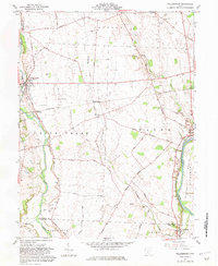
1961 Map of Williamsport
USGS Topo · Published 1981About this map
Williamsport sits at a crossroads of early Ohio history on the western edge of the Pickaway Plains. The landscape here is defined by the convergence of Deer Creek and the Scioto River, where the historic Erie Canal remains a visible trace on the eastern bank. This area preserves a dense record of early settlement, with numerous family-named burial grounds like the Hulse Farm Cem and Peck Farm Cem scattered across the farmland.
Find a feature on this map
55 named features on this map. Tap any name to fly to it.
Don’t see what you’re looking for? This feature index may not catch every label — zoom into the map to look around manually.
Map Details
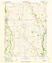
Editions of this 1961 Williamsport Map
2 editions found
Other maps of this area

1906 · Chillicothe
USGS Topo · 1:62,500

1908 · Chillicothe
USGS Topo · 1:62,500

1911 · Era
USGS Topo · 1:62,500

1912 · Roxabell
USGS Topo · 1:62,500

1913 · Era
USGS Topo · 1:62,500

1914 · Roxabell
USGS Topo · 1:62,500

1914 · Circleville
USGS Topo · 1:62,500

1943 · Era
USGS Topo · 1:62,500

1943 · Circleville
USGS Topo · 1:62,500

1944 · Roxabell
USGS Topo · 1:62,500