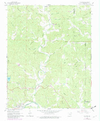
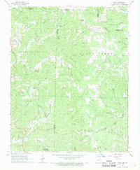
1968 Map of Williford
USGS Topo · Published 1982About this map
Williford sits at the southern edge of this Ozark landscape, where the Spring River carves through the terrain alongside the tracks of the Burlington Northern railroad. The area's settlement history is preserved in a high concentration of rural burial grounds, including the Black, Powell, Ratliff, and Kellett cemeteries. These landmarks often correlate with family names that label the surrounding geography, such as Ellis Ridge and Ellison Hill.
Find a feature on this map
65 named features on this map. Tap any name to fly to it.
Don’t see what you’re looking for? This feature index may not catch every label — zoom into the map to look around manually.
Map Details
Editions of this 1968 Williford Map
2 editions found
Other maps of this area

1934 · Powhatan
USGS Topo · 1:62,500

1935 · Powhatan
USGS Topo · 1:62,500

1957 · Poplar Bluff
USGS Topo · 1:250,000

1959 · Poplar Bluff
USGS Topo · 1:250,000

1960 · Poplar Bluff
USGS Topo · 1:250,000

1966 · Ravenden Springs
USGS Topo · 1:24,000
1966 · Imboden
USGS Topo · 1:24,000

1968 · Hardy
USGS Topo · 1:24,000
1968 · Hardy NE
USGS Topo · 1:24,000
1968 · Wirth
USGS Topo · 1:24,000