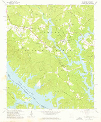
1964 Map of Willington
USGS Topo · Published 1976About this map
Clark Hill Lake dominates the landscape of western McCormick County in the mid-1960s, its intricate shoreline following the flooded valleys of the Little River and Savannah River. The map captures a transition where traditional land use meets modern hydraulic engineering, as seen in the numerous branches like Lees Branch and Patterson Creek that now feed into the reservoir. Older settlements and educational institutions remain prominent, most notably the De La Howe State School and the nearby De La Howe Tomb, providing a clear link to the area's early philanthropic history.
Find a feature on this map
45 named features on this map. Tap any name to fly to it.
Don’t see what you’re looking for? This feature index may not catch every label — zoom into the map to look around manually.
Map Details
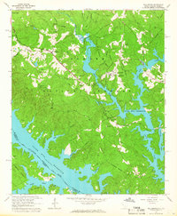
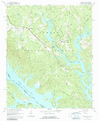
Editions of this 1964 Willington Map
3 editions found
Other maps of this area

1892 · Mc Cormick
USGS Topo · 1:125,000

1892 · Abbeville
USGS Topo · 1:125,000

1893 · Elberton
USGS Topo · 1:125,000

1906 · Crawfordville
USGS Topo · 1:125,000

1912 · Mc Cormick
USGS Topo · 1:125,000

1948 · Verdery
USGS Topo · 1:24,000

1949 · Calhoun Creek
USGS Topo · 1:24,000

1950 · Verdery
USGS Topo · 1:24,000

1953 · Athens
USGS Topo · 1:250,000

1954 · Metasville
USGS Topo · 1:24,000