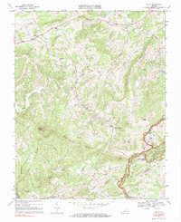
1968 Map of Willis
USGS Topo · Published 1985About this map
Willis serves as a primary settlement hub in this 1960s landscape, positioned near the headwaters of Greasy Creek. The terrain is defined by the high elevations of Buffalo Mtn, which features a Lookout Tower, and the sweeping spine of Black Ridge. The social and community fabric of the era is evident through the high density of country churches, including Blue Ridge Ch, Union Ch, and Harris Chapel, alongside Willis Sch.
Find a feature on this map
42 named features on this map. Tap any name to fly to it.
Don’t see what you’re looking for? This feature index may not catch every label — zoom into the map to look around manually.
Map Details
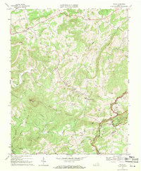
Editions of this 1968 Willis Map
2 editions found
Other maps of this area

1889 · Hillsville
USGS Topo · 1:125,000

1892 · Hillsville
USGS Topo · 1:125,000

1896 · Hillsville
USGS Topo · 1:125,000

1928 · Stuart
USGS Topo · 1:48,000

1931 · Stuart
USGS Topo · 1:62,500

1953 · Winston-Salem
USGS Topo · 1:250,000

1955 · Winston-Salem
USGS Topo · 1:250,000

1956 · Macks Mountain
USGS Topo · 1:62,500

1957 · Mount Airy
USGS Topo · 1:62,500

1957 · Floyd
USGS Topo · 1:62,500