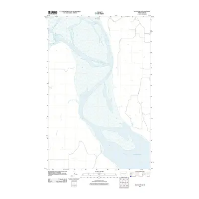
2011 Map of Williston SE
USGS Topo · Published 2011About this map
The Missouri River dominates this landscape southeast of Williston, where it begins its widening transition into the massive Lake Sakakawea. This 2011 survey captures the river's braided channels and shifting bars as it flows past the northern tip of the reservoir. Tributaries like Indian Creek and Willow Creek join the main stem, while the uniquely named Crazy Man Coulee cuts through the northern bluffs. The map reflects a rural network of roads including County Hwy 11 and various section-line routes such as 130th Rd NW, illustrating the geographic layout of Williams County before the most recent decade of intensive development. It is an essential document for understanding the hydrologic interface between the river and the reservoir.
Find a feature on this map
10 named features on this map. Tap any name to fly to it.
Don’t see what you’re looking for? This feature index may not catch every label — zoom into the map to look around manually.
Map Details
Editions of this 2011 Williston SE Map
This is the sole edition of this map. No revisions or reprints were ever made.
Other maps of this area

1911 · Ray
USGS Topo · 1:125,000

1953 · Williston
USGS Topo · 1:250,000

1953 · Watford City
USGS Topo · 1:250,000

1957 · Williston
USGS Topo · 1:250,000

1957 · Watford City
USGS Topo · 1:250,000

1959 · Williston West
USGS Topo · 1:24,000

1959 · Williston East
USGS Topo · 1:24,000

1967 · Watford City
USGS Topo · 1:250,000

1978 · Lake Jessie
USGS Topo · 1:24,000

1978 · Watford City NW
USGS Topo · 1:24,000