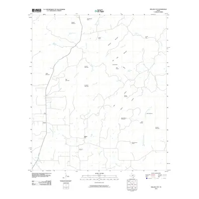
2010 Map of Willow City
USGS Topo · Published 2010About this map
Willow City and Eckert serve as the primary hubs in this central Texas landscape, characterized by a complex network of granite uplifts and limestone ridges. The geography is defined by prominent peaks including Dungeon Mountain, Skillet Knob, and the distinctive Twin Knobs, which rise above the drainage basins of Coal Creek and Willow Creek. These watercourses create deep recesses like Devils Kitchen and Bird Hollow, illustrating the dramatic erosion patterns of the Edwards Plateau.
Find a feature on this map
37 named features on this map. Tap any name to fly to it.
Don’t see what you’re looking for? This feature index may not catch every label — zoom into the map to look around manually.
Map Details
Editions of this 2010 Willow City Map
This is the sole edition of this map. No revisions or reprints were ever made.
Other maps of this area

1887 · Llano
USGS Topo · 1:125,000

1894 · Fredericksburg
USGS Topo · 1:125,000

1894 · Llano
USGS Topo · 1:125,000

1904 · Llano
USGS Topo · 1:125,000

1909 · Llano
USGS Topo · 1:125,000

1918 · Llano
USGS Topo · 1:125,000

1954 · Llano
USGS Topo · 1:250,000

1955 · Llano
USGS Topo · 1:250,000

1956 · Llano
USGS Topo · 1:250,000

1961 · Cave Creek School
USGS Topo · 1:24,000