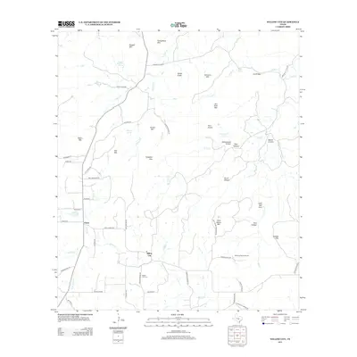
2012 Map of Willow City
USGS Topo · Published 2012About this map
Willow City and Eckert anchor this portion of the Texas Hill Country, where a complex network of ranch roads and winding waterways defines the rural landscape. The area is characterized by dramatic elevation changes, including landmarks such as Skillet Knob, Bee Rock Mtn, and the curiously named Devils Kitchen and Hells Half Acre. Transportation in the region relies on routes like the Willow City Loop and Ranch Road 1323, which navigate around prominent features like Garrett Mtn and Andy Moore Mtn.
Find a feature on this map
64 named features on this map. Tap any name to fly to it.
Don’t see what you’re looking for? This feature index may not catch every label — zoom into the map to look around manually.
Map Details
Editions of this 2012 Willow City Map
This is the sole edition of this map. No revisions or reprints were ever made.
Other maps of this area

1887 · Llano
USGS Topo · 1:125,000

1894 · Fredericksburg
USGS Topo · 1:125,000

1894 · Llano
USGS Topo · 1:125,000

1904 · Llano
USGS Topo · 1:125,000

1909 · Llano
USGS Topo · 1:125,000

1918 · Llano
USGS Topo · 1:125,000

1954 · Llano
USGS Topo · 1:250,000

1955 · Llano
USGS Topo · 1:250,000

1956 · Llano
USGS Topo · 1:250,000

1961 · Cave Creek School
USGS Topo · 1:24,000