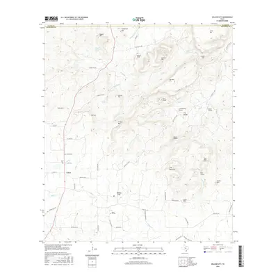
2016 Map of Willow City
USGS Topo · Published 2016About this map
Willow City and Eckert anchor this portion of the Texas Hill Country, where the landscape is defined by complex drainage systems and prominent peaks. The terrain is marked by numerous family-named landmarks and topographic curiosities such as Devils Kitchen and Hells Half Acre. Water sources are critical to the local geography, with Willow Cr and its tributaries, including S Br Willow Cr, winding between elevations like Andy Moore Mtn and Bee Rock Mtn.
Find a feature on this map
63 named features on this map. Tap any name to fly to it.
Don’t see what you’re looking for? This feature index may not catch every label — zoom into the map to look around manually.
Map Details
Editions of this 2016 Willow City Map
This is the sole edition of this map. No revisions or reprints were ever made.
Other maps of this area

1887 · Llano
USGS Topo · 1:125,000

1894 · Fredericksburg
USGS Topo · 1:125,000

1894 · Llano
USGS Topo · 1:125,000

1904 · Llano
USGS Topo · 1:125,000

1909 · Llano
USGS Topo · 1:125,000

1918 · Llano
USGS Topo · 1:125,000

1954 · Llano
USGS Topo · 1:250,000

1955 · Llano
USGS Topo · 1:250,000

1956 · Llano
USGS Topo · 1:250,000

1961 · Cave Creek School
USGS Topo · 1:24,000