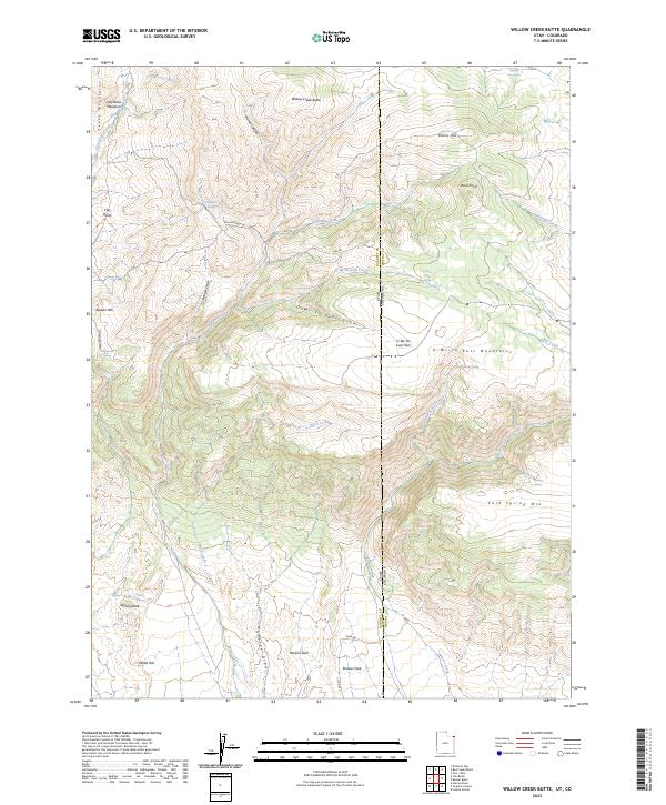
2023 Map of Willow Creek Butte
USGS Topo · Published 2023About this map
Browns Park and the surrounding high-altitude desert terrain define this intersection of the Utah-Colorado border. This 2023 survey details a landscape defined by its vital water sources, from the Browns Park National Wildlife Refuge in the south to a network of named springs scattered across the uplands. The drainage systems of Willow Creek and Birch Creek carve through the complex topography of the Tepee Mountains and Q-Wi-Yu-Kuts Mountains, showing a geographic transition where traditional ranching and wildlife preservation coexist. Local-history researchers will find interest in the naming of remote landmarks like Slippery Jim Spring, Whisky Peak, and Honeymoon Spring, which point to a long human presence in this arid frontier. The map also traces the boundary between Daggett and Moffat Counties, marking where the high plateaus of the Willow Creek Butte area fall away toward the Green River basin.
Find a feature on this map
47 named features on this map. Tap any name to fly to it.
Don’t see what you’re looking for? This feature index may not catch every label — zoom into the map to look around manually.
Map Details
Editions of this 2023 Willow Creek Butte Map
This is the sole edition of this map. No revisions or reprints were ever made.
Other maps of this area

1885 · Ashley
USGS Topo · 1:250,000

1952 · Warren Draw
USGS Topo · 1:24,000

1952 · Willow Creek Butte
USGS Topo · 1:24,000

1952 · Swallow Canyon
USGS Topo · 1:24,000

1952 · Clay Basin
USGS Topo · 1:24,000

1954 · Lodore School
USGS Topo · 1:24,000

1954 · Vernal
USGS Topo · 1:250,000

1954 · Rock Springs
USGS Topo · 1:250,000

1958 · Vernal
USGS Topo · 1:250,000

1958 · Rock Springs
USGS Topo · 1:250,000