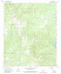
1965 Map of Willow
USGS Topo · Published 1984About this map
Rolla, Lono, and Willow anchor this mid-1960s landscape where Hot Spring, Grant, and Dallas Counties converge. The region is defined by a dense network of timberlands and drainage basins, including the headwaters of L'Eau Frais Cr and West Fork Tulip Creek. A rural infrastructure of family and community landmarks is evident in the numerous burial grounds and houses of worship, such as Gray Cem, Phillips Cem, and Hunters Chapel.
Find a feature on this map
36 named features on this map. Tap any name to fly to it.
Don’t see what you’re looking for? This feature index may not catch every label — zoom into the map to look around manually.
Map Details
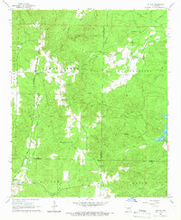
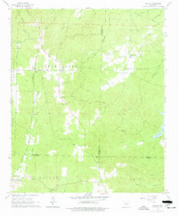
Editions of this 1965 Willow Map
3 editions found
Other maps of this area

1948 · Malvern
USGS Topo · 1:62,500

1949 · Malvern
USGS Topo · 1:62,500

1955 · Little Rock
USGS Topo · 1:250,000

1956 · Little Rock
USGS Topo · 1:250,000

1960 · Little Rock
USGS Topo · 1:250,000

1963 · Prattsville
USGS Topo · 1:24,000

1964 · Poyen
USGS Topo · 1:24,000

1964 · Little Rock
USGS Topo · 1:250,000

1965 · Round Hill
USGS Topo · 1:24,000
1965 · Leola
USGS Topo · 1:24,000