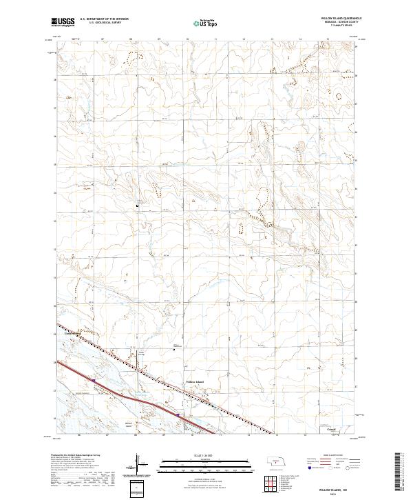
2021 Map of Willow Island
USGS Topo · Published 2021About this map
The Platte River corridor in central Nebraska serves as the centerpiece for this landscape, showcasing the complex network of irrigation and water management essential to the region. The North Channel Platte River flows alongside the primary riverbed, while major civil engineering projects like the Gothenburg Canal and the Cozad Canal divert water across the plains to support local agriculture. The map illustrates the linear development pattern of the early 20th century, with settlements like Gothenburg, Willow Island, and Cozad positioned along the transportation routes north of the river. Local history is anchored by rural landmarks such as the Grand View Cem and Willow Island Cem, which reflect the community's ancestral roots. Beyond the town centers, the terrain is defined by drainage features like Buffalo Cr and Stump Ditch, as well as the Fiese Airstrip, demonstrating the blend of traditional farming and modern infrastructure in Dawson County.
Find a feature on this map
26 named features on this map. Tap any name to fly to it.
Don’t see what you’re looking for? This feature index may not catch every label — zoom into the map to look around manually.
Map Details
Editions of this 2021 Willow Island Map
This is the sole edition of this map. No revisions or reprints were ever made.
Other maps of this area

1896 · Lexington
USGS Topo · 1:125,000

1899 · Lexington
USGS Topo · 1:125,000

1902 · Gothenburg
USGS Topo · 1:125,000

1951 · Oconto SW
USGS Topo · 1:24,000

1954 · McCook
USGS Topo · 1:250,000

1954 · North Platte
USGS Topo · 1:250,000

1955 · Broken Bow
USGS Topo · 1:250,000

1955 · Grand Island
USGS Topo · 1:250,000

1956 · Broken Bow
USGS Topo · 1:250,000

1956 · North Platte
USGS Topo · 1:250,000