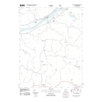
2011 Map of Willow Island
USGS Topo · Published 2011About this map
The Ohio River corridor serves as the primary artery for this West Virginia and Ohio borderland, dominated by the industrial infrastructure of the Willow Island Locks and Dam. This 2011 survey details a landscape where river navigation and overland ridge routes define the settlement patterns. Along the northern bank, Lower Newport and Willow Island maintain their connection to the water, while the interior is marked by smaller hamlets like Horseneck and Borland tucked away along winding creek systems such as Bull Creek and Cow Creek.
Find a feature on this map
92 named features on this map. Tap any name to fly to it.
Don’t see what you’re looking for? This feature index may not catch every label — zoom into the map to look around manually.
Map Details
Editions of this 2011 Willow Island Map
This is the sole edition of this map. No revisions or reprints were ever made.
Other maps of this area

1904 · Marietta
USGS Topo · 1:62,500

1906 · Saint Marys
USGS Topo · 1:62,500

1906 · Elizabeth
USGS Topo · 1:62,500

1907 · Harrisville
USGS Topo · 1:62,500

1924 · St Marys
USGS Topo · 1:62,500

1924 · Harrisville
USGS Topo · 1:62,500

1924 · Marietta
USGS Topo · 1:62,500

1924 · Elizabeth
USGS Topo · 1:62,500

1926 · Elizabeth
USGS Topo · 1:62,500

1926 · Harrisville
USGS Topo · 1:62,500