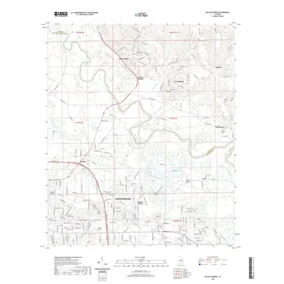
2020 Map of Willow Springs
USGS Topo · Published 2020About this map
The Tallapoosa River meanders across this landscape, defining the boundary between Elmore and Montgomery counties. The area showcases a blend of urban expansion and established rural communities, with the northern reaches of Montgomery and neighborhoods like Madison and Mitylene meeting the rolling hills to the north. Institutions such as Faulkner University and the Community College of the Air Force are prominent landmarks in the southern portion of the map.
Find a feature on this map
204 named features on this map. Tap any name to fly to it.
Don’t see what you’re looking for? This feature index may not catch every label — zoom into the map to look around manually.
Map Details
Editions of this 2020 Willow Springs Map
This is the sole edition of this map. No revisions or reprints were ever made.
Other maps of this area

1901 · Wetumpka
USGS Topo · 1:125,000

1901 · Wetumpka
USGS Topo · 1:62,500

1903 · Wetumpka
USGS Topo · 1:125,000

1927 · Montgomery
USGS Topo · 1:48,000

1930 · Montgomery
USGS Topo · 1:62,500

1953 · Montgomery
USGS Topo · 1:250,000

1956 · Montgomery
USGS Topo · 1:250,000

1957 · Montgomery
USGS Topo · 1:250,000

1958 · Montgomery
USGS Topo · 1:62,500

1958 · Montgomery North
USGS Topo · 1:24,000