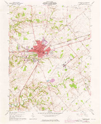
1961 Map of Wilmington
USGS Topo · Published 1976About this map
The Courthouse at the center of Wilmington anchors this mid-century survey of Clinton County, Ohio. The city is a hub of transport and education, defined by the campus of Wilmington College and the crossing of the Baltimore and Ohio and Penn Central railroads. Urban expansion is visible through updated purple tinting, showing the growth of the Wilmington Industrial Airpark southeast of the city center.
Find a feature on this map
73 named features on this map. Tap any name to fly to it.
Don’t see what you’re looking for? This feature index may not catch every label — zoom into the map to look around manually.
Map Details
Editions of this 1961 Wilmington Map
4 editions found
Other maps of this area

1907 · Blanchester
USGS Topo · 1:62,500

1916 · Octa
USGS Topo · 1:62,500

1917 · Xenia
USGS Topo · 1:62,500

1917 · Sabina
USGS Topo · 1:62,500

1943 · Sabina
USGS Topo · 1:62,500

1944 · Octa
USGS Topo · 1:62,500

1947 · Columbus
USGS Topo · 1:250,000

1955 · New Burlington
USGS Topo · 1:24,000

1955 · Port William
USGS Topo · 1:24,000

1960 · Martinsville
USGS Topo · 1:24,000