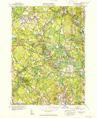
1950 Map of Wilmington
USGS Topo · Published 1952About this map
The Shawsheen River and the Boston and Maine Railroad define the industrial and social geography of this Middlesex County landscape in the early 1950s. Highlighting the era's specialized institutions, the map prominently features the large State Infirmary complex in Tewksbury and the North Reading State Sanatorium to the east. Several rail junctions, including Lowell Junction and Wilmington Junction, anchor the network that connected these growing residential and industrial centers. Local communities are meticulously detailed, showing the layout of Silver Lake and the residential expansion in Pinehurst. Prominent civic landmarks such as St William Ch, the Shawsheen Sch, and the Wildwood Cem provide essential reference points for genealogists and local historians tracking the development of these Massachusetts towns during the post-war period.
Find a feature on this map
64 named features on this map. Tap any name to fly to it.
Don’t see what you’re looking for? This feature index may not catch every label — zoom into the map to look around manually.
Map Details
Editions of this 1950 Wilmington Map
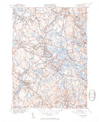
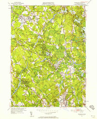
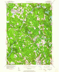
4 editions found
Other maps of this area

1886 · Lawrence
USGS Topo · 1:62,500

1886 · Lowell
USGS Topo · 1:62,500

1886 · Framingham
USGS Topo · 1:62,500

1888 · Lawrence
USGS Topo · 1:62,500

1889 · Framingham
USGS Topo · 1:62,500

1893 · Lowell
USGS Topo · 1:62,500

1893 · Boston
USGS Topo · 1:62,500

1893 · Lawrence
USGS Topo · 1:62,500

1894 · Framingham
USGS Topo · 1:62,500

1903 · Boston
USGS Topo · 1:62,500