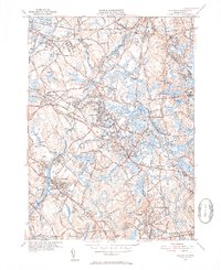
1950 Map of Wilmington
USGS Topo · Published 1952About this map
Wilmington serves as a central hub in this mid-century survey, situated at the convergence of several major transport routes including the Boston and Maine Railroad. The landscape is defined by the winding path of the Shawsheen River and the presence of the Middlesex Canal (Abandoned), which reflects the transition from early industrial water transport to the rail-dominated era. To the northwest, the extensive grounds of the State Infirmary in Tewksbury dominate the local geography near Round Pond. The map captures the suburban growth of the period, with established neighborhoods like Silver Lake and North Wilmington appearing alongside numerous local schools such as Whitefield Sch and Shawsheen Sch. For genealogists, the survey identifies several key burial grounds, including Wildwood Cem and Tewksbury Cem, providing a detailed record of the community's civic and religious anchors.
Find a feature on this map
53 named features on this map. Tap any name to fly to it.
Don’t see what you’re looking for? This feature index may not catch every label — zoom into the map to look around manually.
Map Details
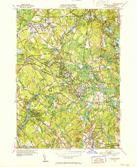
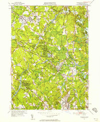
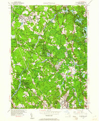
Editions of this 1950 Wilmington Map
4 editions found
Other maps of this area

1886 · Lawrence
USGS Topo · 1:62,500

1886 · Lowell
USGS Topo · 1:62,500

1886 · Framingham
USGS Topo · 1:62,500

1888 · Lawrence
USGS Topo · 1:62,500

1889 · Framingham
USGS Topo · 1:62,500

1893 · Lowell
USGS Topo · 1:62,500

1893 · Boston
USGS Topo · 1:62,500

1893 · Lawrence
USGS Topo · 1:62,500

1894 · Framingham
USGS Topo · 1:62,500

1903 · Boston
USGS Topo · 1:62,500