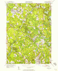
1950 Map of Wilmington
USGS Topo · Published 1958About this map
Tewksbury and Wilmington form the industrial and residential heart of this mid-century survey, a landscape defined by the convergence of the Boston and Maine Railroad and the winding Shawsheen River. The presence of the massive State Infirmary complex and its associated East State Infirmary Cem stands out in the northwest, reflecting the area's role in regional social services during this era.
Find a feature on this map
115 named features on this map. Tap any name to fly to it.
Don’t see what you’re looking for? This feature index may not catch every label — zoom into the map to look around manually.
Map Details
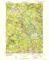
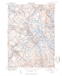
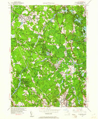
Editions of this 1950 Wilmington Map
4 editions found
Other maps of this area

1886 · Lawrence
USGS Topo · 1:62,500

1886 · Lowell
USGS Topo · 1:62,500

1886 · Framingham
USGS Topo · 1:62,500

1888 · Lawrence
USGS Topo · 1:62,500

1889 · Framingham
USGS Topo · 1:62,500

1893 · Lowell
USGS Topo · 1:62,500

1893 · Boston
USGS Topo · 1:62,500

1893 · Lawrence
USGS Topo · 1:62,500

1894 · Framingham
USGS Topo · 1:62,500

1903 · Boston
USGS Topo · 1:62,500