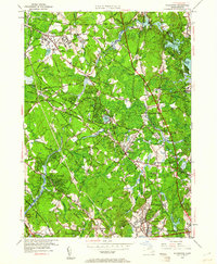
1950 Map of Wilmington
USGS Topo · Published 1961About this map
The Boston and Maine Railroad serves as a primary corridor through this portion of Middlesex County, linking industrial and residential centers like Wilmington and North Wilmington. The landscape is a complex mix of riparian zones along the Shawsheen River and Ipswich River, interspersed with institutional landmarks such as the State Infirmary in Tewksbury and the North Reading Sanitarium. Local life in the mid-century is marked by numerous neighborhood schools, including the Whitefield Sch and Richardson Sch, and community hubs like Silver Lake. The mapping of small hills like Peach Orchard Hill and Crosbys Hill highlights the varied topography that defined local land use before the massive suburban expansion of the late 20th century.
Find a feature on this map
49 named features on this map. Tap any name to fly to it.
Don’t see what you’re looking for? This feature index may not catch every label — zoom into the map to look around manually.
Map Details
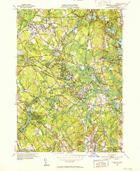
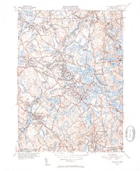
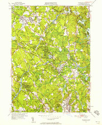
Editions of this 1950 Wilmington Map
4 editions found
Other maps of this area

1886 · Lawrence
USGS Topo · 1:62,500

1886 · Lowell
USGS Topo · 1:62,500

1886 · Framingham
USGS Topo · 1:62,500

1888 · Lawrence
USGS Topo · 1:62,500

1889 · Framingham
USGS Topo · 1:62,500

1893 · Lowell
USGS Topo · 1:62,500

1893 · Boston
USGS Topo · 1:62,500

1893 · Lawrence
USGS Topo · 1:62,500

1894 · Framingham
USGS Topo · 1:62,500

1903 · Boston
USGS Topo · 1:62,500