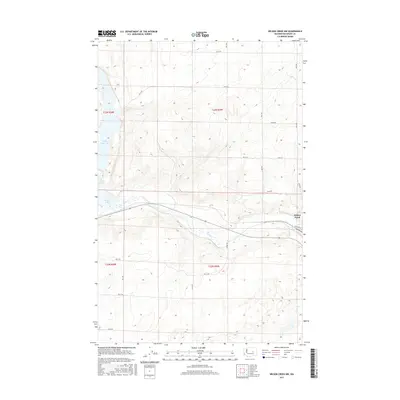
2017 Map of Wilson Creek NW
USGS Topo · Published 2017About this map
Wilson Creek sits at the eastern edge of this landscape where the coulee floor meets the winding path of Crab Creek. The terrain is defined by the sharp basaltic edges and broad plateaus of the Columbia Basin, characterized by a grid of rural routes such as Rd 28 NE and Rd 20 Ne that navigate the high ground above the water. To the west, the expansive Billy Clapp Lake and the smaller Brook Lake mark the significant impact of water management and irrigation on this arid region. The presence of Railroad St in the namesake town reflects the area's historical reliance on rail transport for agricultural distribution. This survey captures a moment in the modern era where the stark, natural geology of Grant County remains visible beneath the infrastructure of 21st-century ranching and irrigation.
Find a feature on this map
19 named features on this map. Tap any name to fly to it.
Don’t see what you’re looking for? This feature index may not catch every label — zoom into the map to look around manually.
Map Details
Editions of this 2017 Wilson Creek NW Map
This is the sole edition of this map. No revisions or reprints were ever made.
Other maps of this area

1953 · Ritzville
USGS Topo · 1:250,000

1956 · Stratford
USGS Topo · 1:24,000

1956 · Gloyd
USGS Topo · 1:24,000

1956 · Wilson Creek SW
USGS Topo · 1:24,000

1956 · Wilson Creek SE
USGS Topo · 1:24,000

1956 · Wilson Creek NW
USGS Topo · 1:24,000

1956 · Wilson Creek
USGS Topo · 1:62,500

1959 · Ritzville
USGS Topo · 1:250,000

1965 · Ritzville
USGS Topo · 1:250,000

1965 · Coulee City
USGS Topo · 1:24,000