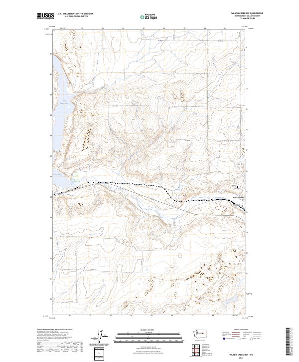
2023 Map of Wilson Creek NW
USGS Topo · Published 2023About this map
Wilson Creek and the surrounding plateau of Grant County are defined by the dramatic coulee topography and the winding path of Crab Creek. This landscape represents a modern view of the Pacific Northwest's dry interior, where the intersection of water and transport infrastructure remains central to the local economy. The settlement of Wilson Creek serves as the focal point, situated at the edge of the creek bed and the Railroad St corridor. To the west, the presence of Billy Clapp Lake and Brook Lake illustrates the region's complex water management and natural drainage systems. For those researching family ties to the area, the Wilson Creek Cem is a notable landmark on the eastern edge of the community. The grid of county roads, such as RD 28 Ne and RD 25 Ne, delineates the vast agricultural and open lands of the T23N and T22N townships.
Find a feature on this map
19 named features on this map. Tap any name to fly to it.
Don’t see what you’re looking for? This feature index may not catch every label — zoom into the map to look around manually.
Map Details
Editions of this 2023 Wilson Creek NW Map
This is the sole edition of this map. No revisions or reprints were ever made.
Other maps of this area

1953 · Ritzville
USGS Topo · 1:250,000

1956 · Stratford
USGS Topo · 1:24,000

1956 · Gloyd
USGS Topo · 1:24,000

1956 · Wilson Creek SW
USGS Topo · 1:24,000

1956 · Wilson Creek SE
USGS Topo · 1:24,000

1956 · Wilson Creek NW
USGS Topo · 1:24,000

1956 · Wilson Creek
USGS Topo · 1:62,500

1959 · Ritzville
USGS Topo · 1:250,000

1965 · Ritzville
USGS Topo · 1:250,000

1965 · Coulee City
USGS Topo · 1:24,000