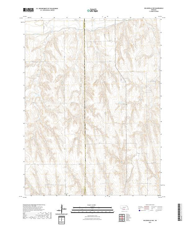
2021 Map of Wilsonville NW
USGS Topo · Published 2021About this map
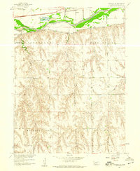
Tyrone Cem sits in the southwestern portion of this landscape, marking a quiet point of local history in a territory defined by intricate drainage and essential water management. The northern reaches are characterized by the Bartley Canal, which represents the vital irrigation infrastructure necessary for agriculture in this part of the state. The terrain is deeply carved by several watercourses, including the notable Bogus Canyon and Silver Cr, which feed into the wider regional watershed.
Find a feature on this map
28 named features on this map. Tap any name to fly to it.
Don’t see what you’re looking for? This feature index may not catch every label — zoom into the map to look around manually.
Map Details
Editions of this 2021 Wilsonville NW Map
This is the sole edition of this map. No revisions or reprints were ever made.
Other maps of this area

1954 · McCook
USGS Topo · 1:250,000
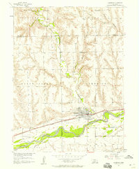
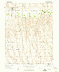
1956 · Cambridge
USGS Topo · 1:24,000
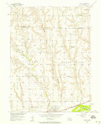
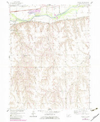
1956 · Bartley
USGS Topo · 1:24,000

1957 · McCook
USGS Topo · 1:250,000
1957 · Shippee
USGS Topo · 1:24,000
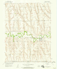
1957 · Wilsonville
USGS Topo · 1:24,000
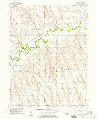
1957 · Lebanon
USGS Topo · 1:24,000
1957 · Danbury NE
USGS Topo · 1:24,000

1958 · McCook
USGS Topo · 1:250,000
1958 · Danbury NE
USGS Topo · 1:24,000