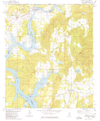
1980 Map of Wilsonville
USGS Topo · Published 1980About this map
Lay Lake dominates this 1980 survey, where the impounded Coosa River forms the border between Shelby and Talladega Counties. The landscape reflects the industrial and recreational transitions of the late 20th century, from the large Powerplant and Tailings Pond near Wilsonville to the emerging residential developments at Shelby Shores. Despite these modern changes, the map preserves older layers of settlement history through rural churches and cemeteries, such as Russell Chapel and Kahatchee Cem.
Find a feature on this map
50 named features on this map. Tap any name to fly to it.
Don’t see what you’re looking for? This feature index may not catch every label — zoom into the map to look around manually.
Map Details
Editions of this 1980 Wilsonville Map
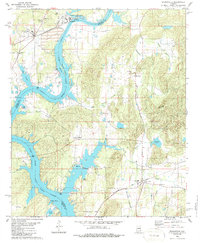
2 editions found
Other maps of this area

1890 · Bessemer
USGS Topo · 1:125,000

1890 · Talladega
USGS Topo · 1:125,000

1892 · Talladega
USGS Topo · 1:125,000

1892 · Bessemer
USGS Topo · 1:125,000

1906 · Vandiver
USGS Topo · 1:62,500

1908 · Vandiver
USGS Topo · 1:62,500

1909 · Columbiana
USGS Topo · 1:62,500

1911 · Columbiana
USGS Topo · 1:62,500

1915 · Gantts Quarry
USGS Topo · 1:48,000

1917 · Gantts Quarry
USGS Topo · 1:62,500