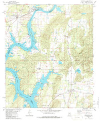
1980 Map of Wilsonville
USGS Topo · Published 1986About this map
Coosa River-Lay Lake dominates this landscape, defining the boundary between Shelby and Talladega Counties. The industrial footprint of the era is evident near Wilsonville, where a large Powerplant and its associated Tailings Pond sit along the riverbanks, serviced by the Southern railroad line. This 1980s-era map captures the coexistence of heavy industry with recreational development, seen in the numerous Boat Ramps and the residential growth of Shelby Shores along the western inlets.
Find a feature on this map
46 named features on this map. Tap any name to fly to it.
Don’t see what you’re looking for? This feature index may not catch every label — zoom into the map to look around manually.
Map Details
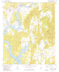
Editions of this 1980 Wilsonville Map
2 editions found
Other maps of this area

1890 · Bessemer
USGS Topo · 1:125,000

1890 · Talladega
USGS Topo · 1:125,000

1892 · Talladega
USGS Topo · 1:125,000

1892 · Bessemer
USGS Topo · 1:125,000

1906 · Vandiver
USGS Topo · 1:62,500

1908 · Vandiver
USGS Topo · 1:62,500

1909 · Columbiana
USGS Topo · 1:62,500

1911 · Columbiana
USGS Topo · 1:62,500

1915 · Gantts Quarry
USGS Topo · 1:48,000

1917 · Gantts Quarry
USGS Topo · 1:62,500