
1891 Map of Wilton Junction
USGS Topo · Published 1891About this map
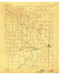
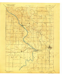
The Cedar River carves a winding path through this 1889 topography, defining the border between Cedar and Muscatine counties. In this era, the region’s development follows the established corridor of the Chicago Rock Island and Pacific Railroad, which connects the prairie settlements of Atalissa, Moscow, and Wilton. The river valley itself remains the primary geographical anchor, with Rochester situated at a significant bend and Sugar Creek draining the eastern uplands. Small industrial and transit points like Lime City and Summit illustrate the density of late 19th-century rural infrastructure before modern road networks bypassed these localized hubs. The map reveals a landscape transition from the river-bottom timber and drainage of Sugar Creek township to the surveyed grid of productive farmland that would become the hallmark of eastern Iowa agriculture.
Find a feature on this map
18 named features on this map. Tap any name to fly to it.
Don’t see what you’re looking for? This feature index may not catch every label — zoom into the map to look around manually.
Map Details
Editions of this 1891 Wilton Junction Map
3 editions found
Other maps of this area

1889 · Tipton
USGS Topo · 1:62,500

1890 · Durant
USGS Topo · 1:62,500

1890 · Tipton
USGS Topo · 1:62,500

1891 · Mechanicsville
USGS Topo · 1:62,500

1892 · Wheatland
USGS Topo · 1:62,500

1894 · Wheatland
USGS Topo · 1:62,500

1894 · Mechanicsville
USGS Topo · 1:62,500

1894 · Durant
USGS Topo · 1:62,500

1894 · West Liberty
USGS Topo · 1:62,500

1901 · Rock Island
USGS Topo · 1:125,000