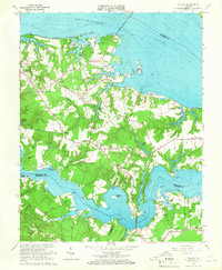
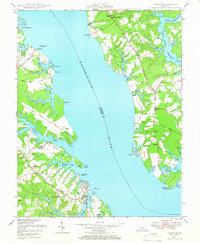
1964 Map of Wilton
USGS Topo · Published 1966About this map
Rappahannock River and the Piankatank River define this coastal landscape of Middlesex County, where mid-century life centers on the intricate peninsulas and tidal creeks. The map shows a transition from traditional maritime hubs like Stampers Wharf and New Mill Creek Wharf to more modern infrastructure, including the Norris Bridge and Hummel Airfield. Numerous historic congregations are documented, such as Old Brick Ch and Mathews Chapel, reflecting the deep-rooted community structure of the Virginia Middle Peninsula.
Find a feature on this map
75 named features on this map. Tap any name to fly to it.
Don’t see what you’re looking for? This feature index may not catch every label — zoom into the map to look around manually.
Map Details
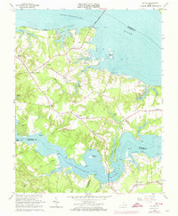
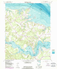
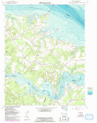
Editions of this 1964 Wilton Map
4 editions found
Other maps of this area

1906 · Williamsburg
USGS Topo · 1:62,500

1916 · Kilmarnock
USGS Topo · 1:48,000

1916 · Mathews
USGS Topo · 1:62,500

1917 · Urbanna
USGS Topo · 1:62,500

1917 · Kilmarnock
USGS Topo · 1:62,500

1917 · Mathews
USGS Topo · 1:62,500

1942 · Kilmarnock
USGS Topo · 1:62,500

1943 · Richmond
USGS Topo · 1:250,000
1946 · Urbanna
USGS Topo · 1:24,000

1948 · Ware Neck
USGS Topo · 1:24,000