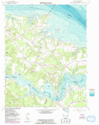
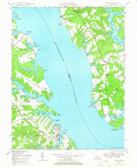
1964 Map of Wilton
USGS Topo · Published 1993About this map
The Piankatank River and Rappahannock River define this coastal landscape, where the peninsula of Middlesex County meets the Chesapeake Bay's tidal estuaries. The map documents a maritime-dependent community characterized by numerous wharves and landings, such as Stampers Wharf and Blands Wharf, which once served as vital links for local trade and travel. In the interior, the settlement pattern is punctuated by long-standing landmarks like the Old Brick Ch and Wilton Sch, reflecting the civic and spiritual foundations of the area.
Find a feature on this map
72 named features on this map. Tap any name to fly to it.
Don’t see what you’re looking for? This feature index may not catch every label — zoom into the map to look around manually.
Map Details
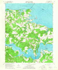
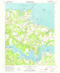
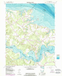
Editions of this 1964 Wilton Map
4 editions found
Other maps of this area

1906 · Williamsburg
USGS Topo · 1:62,500

1916 · Kilmarnock
USGS Topo · 1:48,000

1916 · Mathews
USGS Topo · 1:62,500

1917 · Urbanna
USGS Topo · 1:62,500

1917 · Kilmarnock
USGS Topo · 1:62,500

1917 · Mathews
USGS Topo · 1:62,500

1942 · Kilmarnock
USGS Topo · 1:62,500

1943 · Richmond
USGS Topo · 1:250,000
1946 · Urbanna
USGS Topo · 1:24,000

1948 · Ware Neck
USGS Topo · 1:24,000