
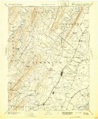
1894 Map of Winchester
USGS Topo · Published 1899About this map
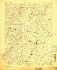
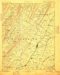
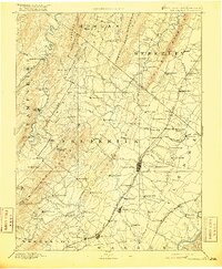
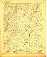
Great North Mountain and the Cacapon Mts dominate this late 19th-century survey of the borderlands between Virginia and West Virginia. The landscape is defined by the sharp, parallel ridges of the Appalachian Valley and Ridge province, which dictated the placement of early settlements and transportation corridors. In the east, the limestone valley floor is heavily populated, centering on the major rail junction at Winchester where the Baltimore and Ohio Railroad Valley Branch and the Cumberland Valley R. R. converge. Further west, the terrain becomes more isolated, dotted with remote mountain crossroads like Bloomery and Lafollettsville. This era highlights the prominence of natural springs as destinations, specifically Capon Springs and Rock Enon Springs, which were significant landmarks for 19th-century travelers. The map captures a moment when commerce relied on small depots like Bunker Hill and rural commerce hubs such as Unger Store.
Find a feature on this map
116 named features on this map. Tap any name to fly to it.
Don’t see what you’re looking for? This feature index may not catch every label — zoom into the map to look around manually.
Map Details
Editions of this 1894 Winchester Map
6 editions found
Other maps of this area

1884 · Harpers Ferry
USGS Topo · 1:125,000

1891 · Harpers Ferry
USGS Topo · 1:125,000

1891 · Romney
USGS Topo · 1:125,000

1892 · Woodstock
USGS Topo · 1:125,000

1893 · Luray
USGS Topo · 1:125,000

1893 · Harpers Ferry
USGS Topo · 1:125,000

1894 · Warrenton
USGS Topo · 1:125,000

1898 · Paw Paw
USGS Topo · 1:62,500

1899 · Flintstone
USGS Topo · 1:62,500

1899 · Hancock
USGS Topo · 1:62,500