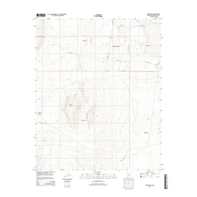
2013 Map of Wind Mesa
USGS Topo · Published 2013About this map
Wind Mesa rises prominently above the surrounding high-desert terrain of Bernalillo County in this early 21st-century topographic study. The landscape is defined by vast, open mesas including Pajarito Mesa and the smaller rise of Blackbird Hill, which overlook the seasonal drainage of Cedar Wash to the south. The road network reflects a mix of modern residential development and traditional routes through tribal and public lands.
Find a feature on this map
25 named features on this map. Tap any name to fly to it.
Don’t see what you’re looking for? This feature index may not catch every label — zoom into the map to look around manually.
Map Details
Editions of this 2013 Wind Mesa Map
This is the sole edition of this map. No revisions or reprints were ever made.
Other maps of this area

1888 · Bernalillo
USGS Topo · 1:125,000

1889 · Albuquerque
USGS Topo · 1:125,000

1893 · Albuquerque
USGS Topo · 1:125,000

1934 · West Albuquerque
USGS Topo · 1:24,000

1938 · Albuquerque
USGS Topo · 1:62,500

1952 · Wind Mesa
USGS Topo · 1:24,000

1952 · Dalies
USGS Topo · 1:24,000

1952 · Rio Puerco
USGS Topo · 1:24,000

1952 · Los Lunas
USGS Topo · 1:24,000

1952 · Isleta
USGS Topo · 1:24,000