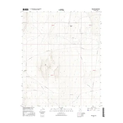
2017 Map of Wind Mesa
USGS Topo · Published 2017About this map
Wind Mesa and Pajarito Mesa dominate this Bernalillo County landscape, characterized by high-desert plateaus and a complex network of administrative and tribal roadways. The 2017 survey details the topographical contours of these landforms, including the prominent elevation at Blackbird Hill. The area is bisected by numerous Indian Service Routes, such as Indian Svc Rte 61 and Indian Svc Rte 613, reflecting the land's transition from open mesa to more structured residential corridors like Powers Way and Los Padillas Rd. Seasonal drainage is represented by the ephemeral Cedar Wash, which cuts across the southern portion of the quadrangle. The grid of the Public Land Survey System, including t8n r1e and t9n r2e, provides the underlying structure for this rural New Mexico territory.
Find a feature on this map
24 named features on this map. Tap any name to fly to it.
Don’t see what you’re looking for? This feature index may not catch every label — zoom into the map to look around manually.
Map Details
Editions of this 2017 Wind Mesa Map
This is the sole edition of this map. No revisions or reprints were ever made.
Other maps of this area

1888 · Bernalillo
USGS Topo · 1:125,000

1889 · Albuquerque
USGS Topo · 1:125,000

1893 · Albuquerque
USGS Topo · 1:125,000

1934 · West Albuquerque
USGS Topo · 1:24,000

1938 · Albuquerque
USGS Topo · 1:62,500

1952 · Wind Mesa
USGS Topo · 1:24,000

1952 · Dalies
USGS Topo · 1:24,000

1952 · Rio Puerco
USGS Topo · 1:24,000

1952 · Los Lunas
USGS Topo · 1:24,000

1952 · Isleta
USGS Topo · 1:24,000