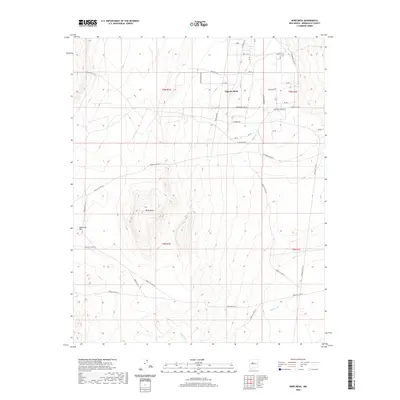
2020 Map of Wind Mesa
USGS Topo · Published 2020About this map
Wind Mesa rises as a central geological feature within this arid landscape of Bernalillo County, situated at the boundary of several township and range sections. The terrain is characterized by its significant mesas and washes, including the expansive Pajarito Mesa and the western peak of Blackbird Hill. An intricate network of tribal and service roads, such as Indian Svc Rte 611 and Indian Svc Rte 613, provides the primary means of traversal across the high desert floor.
Find a feature on this map
27 named features on this map. Tap any name to fly to it.
Don’t see what you’re looking for? This feature index may not catch every label — zoom into the map to look around manually.
Map Details
Editions of this 2020 Wind Mesa Map
This is the sole edition of this map. No revisions or reprints were ever made.
Other maps of this area

1888 · Bernalillo
USGS Topo · 1:125,000

1889 · Albuquerque
USGS Topo · 1:125,000

1893 · Albuquerque
USGS Topo · 1:125,000

1934 · West Albuquerque
USGS Topo · 1:24,000

1938 · Albuquerque
USGS Topo · 1:62,500

1952 · Wind Mesa
USGS Topo · 1:24,000

1952 · Dalies
USGS Topo · 1:24,000

1952 · Rio Puerco
USGS Topo · 1:24,000

1952 · Los Lunas
USGS Topo · 1:24,000

1952 · Isleta
USGS Topo · 1:24,000