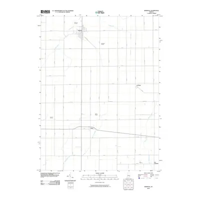
2010 Map of Windfall
USGS Topo · Published 2010About this map
The town of Windfall anchors the northern portion of this Tipton County landscape, where the local road system follows a rigid section-line grid typical of the Midwest. Small agricultural settlements like Hobbs and Curtisville are connected by these straight-line thoroughfares, including E Division Rd and E Railroad St, which underscore the region's historical reliance on rail and road transport. The land is drained by a network of waterways such as Turkey Creek, Bacon Prairie Creek, and Polywog Creek, which meander through the flat terrain, contrasting with the geometric precision of the surrounding farms.
Find a feature on this map
46 named features on this map. Tap any name to fly to it.
Don’t see what you’re looking for? This feature index may not catch every label — zoom into the map to look around manually.
Map Details
Editions of this 2010 Windfall Map
This is the sole edition of this map. No revisions or reprints were ever made.
Other maps of this area

1953 · Danville
USGS Topo · 1:250,000

1953 · Muncie
USGS Topo · 1:250,000

1955 · Danville
USGS Topo · 1:250,000

1956 · Muncie
USGS Topo · 1:250,000

1956 · Danville
USGS Topo · 1:250,000

1960 · Elwood
USGS Topo · 1:24,000

1960 · Point Isabel
USGS Topo · 1:24,000

1960 · Kokomo East
USGS Topo · 1:24,000

1960 · Tipton
USGS Topo · 1:24,000

1960 · Windfall
USGS Topo · 1:24,000