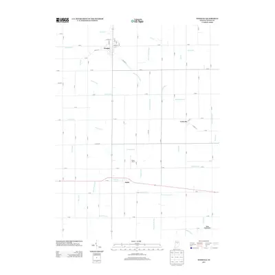
2013 Map of Windfall
USGS Topo · Published 2013About this map
Windfall and the surrounding agricultural landscapes of Tipton County are defined here by an intricate network of drainage systems and small rural settlements. This 2013 survey documents the region's managed hydrology, where features like Zittinger Ditch and Monroe Trimble Ditch support the fertile Indiana farmland. The town of Windfall serves as a local hub, its grid including historically suggestive names like Railroad St and Cemetery St, reflecting the transportation and civic roots of the community.
Find a feature on this map
42 named features on this map. Tap any name to fly to it.
Don’t see what you’re looking for? This feature index may not catch every label — zoom into the map to look around manually.
Map Details
Editions of this 2013 Windfall Map
This is the sole edition of this map. No revisions or reprints were ever made.
Other maps of this area

1953 · Danville
USGS Topo · 1:250,000

1953 · Muncie
USGS Topo · 1:250,000

1955 · Danville
USGS Topo · 1:250,000

1956 · Muncie
USGS Topo · 1:250,000

1956 · Danville
USGS Topo · 1:250,000

1960 · Elwood
USGS Topo · 1:24,000

1960 · Point Isabel
USGS Topo · 1:24,000

1960 · Kokomo East
USGS Topo · 1:24,000

1960 · Tipton
USGS Topo · 1:24,000

1960 · Windfall
USGS Topo · 1:24,000