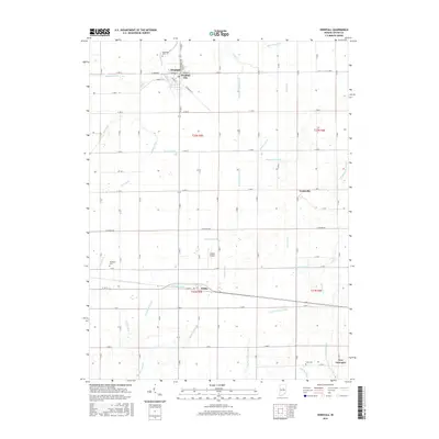
2016 Map of Windfall
USGS Topo · Published 2016About this map
Windfall City and the neighboring agricultural settlements of Curtisville and Hobbs define this interior section of Tipton County. The landscape is a testament to the extensive drainage systems required for Indiana's mid-century agriculture, evidenced by an intricate network of waterways including Rodgers Ditch, Round Prairie Ditch, and Zittinger Ditch. These man-made and modified natural channels, like Turkey Creek, crisscross the township sections to manage the fertile but low-lying prairie land. Genealogists will find several burial grounds preserved among the fields, such as Brookside Cem near the northern edge and Cook Cem to the south. The southern portion of the map is anchored by New Lancaster and the small Ellison Airport, while the legacy of the region's transportation history is noted along E Railroad St in the heart of Windfall.
Find a feature on this map
46 named features on this map. Tap any name to fly to it.
Don’t see what you’re looking for? This feature index may not catch every label — zoom into the map to look around manually.
Map Details
Editions of this 2016 Windfall Map
This is the sole edition of this map. No revisions or reprints were ever made.
Other maps of this area

1953 · Danville
USGS Topo · 1:250,000

1953 · Muncie
USGS Topo · 1:250,000

1955 · Danville
USGS Topo · 1:250,000

1956 · Muncie
USGS Topo · 1:250,000

1956 · Danville
USGS Topo · 1:250,000

1960 · Elwood
USGS Topo · 1:24,000

1960 · Point Isabel
USGS Topo · 1:24,000

1960 · Kokomo East
USGS Topo · 1:24,000

1960 · Tipton
USGS Topo · 1:24,000

1960 · Windfall
USGS Topo · 1:24,000