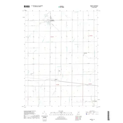
2019 Map of Windfall
USGS Topo · Published 2019About this map
Windfall City and the neighboring community of Windfall serve as the primary hubs in this agricultural pocket of Tipton County. The landscape is defined by an extensive and complex drainage network, characterized by features like Rodgers Ditch, Monroe Trimble Ditch, and Askren Ditch, reflecting the historical effort to manage the area’s wetlands for productive farmland. These waterways weave between the small rural settlements of Hobbs, Curtisville, and New Lancaster, connected by a strict grid of county roads.
Find a feature on this map
56 named features on this map. Tap any name to fly to it.
Don’t see what you’re looking for? This feature index may not catch every label — zoom into the map to look around manually.
Map Details
Editions of this 2019 Windfall Map
This is the sole edition of this map. No revisions or reprints were ever made.
Other maps of this area

1953 · Danville
USGS Topo · 1:250,000

1953 · Muncie
USGS Topo · 1:250,000

1955 · Danville
USGS Topo · 1:250,000

1956 · Muncie
USGS Topo · 1:250,000

1956 · Danville
USGS Topo · 1:250,000

1960 · Elwood
USGS Topo · 1:24,000

1960 · Point Isabel
USGS Topo · 1:24,000

1960 · Kokomo East
USGS Topo · 1:24,000

1960 · Tipton
USGS Topo · 1:24,000

1960 · Windfall
USGS Topo · 1:24,000