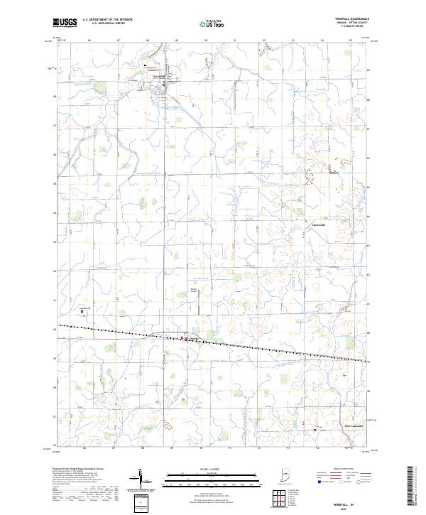
2022 Map of Windfall
USGS Topo · Published 2022About this map
Windfall serves as the primary hub of this Tipton County landscape, where traditional grid-patterned streets like Main St and W Sherman meet the angled path of E Railroad St. The surrounding countryside is defined by an extensive network of drainage infrastructure, such as Rodgers Ditch and Zittinger Ditch, which converted the natural wetlands into productive farmland. Smaller settlements including Hobbs and Curtisville anchor the rural intersections, while the presence of Brookside Cem and Sandbank Cem provide points of interest for genealogists tracing early families. The terrain is marked by numerous seasonal waterways like Turkey Creek and Irwin Cr, which weave between the section lines of the Public Land Survey System. The intersection of local history and modern utility is visible at Ellison Airport, positioned just north of the rail lines.
Find a feature on this map
44 named features on this map. Tap any name to fly to it.
Don’t see what you’re looking for? This feature index may not catch every label — zoom into the map to look around manually.
Map Details
Editions of this 2022 Windfall Map
This is the sole edition of this map. No revisions or reprints were ever made.
Other maps of this area

1953 · Danville
USGS Topo · 1:250,000

1953 · Muncie
USGS Topo · 1:250,000

1955 · Danville
USGS Topo · 1:250,000

1956 · Muncie
USGS Topo · 1:250,000

1956 · Danville
USGS Topo · 1:250,000

1960 · Elwood
USGS Topo · 1:24,000

1960 · Point Isabel
USGS Topo · 1:24,000

1960 · Kokomo East
USGS Topo · 1:24,000

1960 · Tipton
USGS Topo · 1:24,000

1960 · Windfall
USGS Topo · 1:24,000