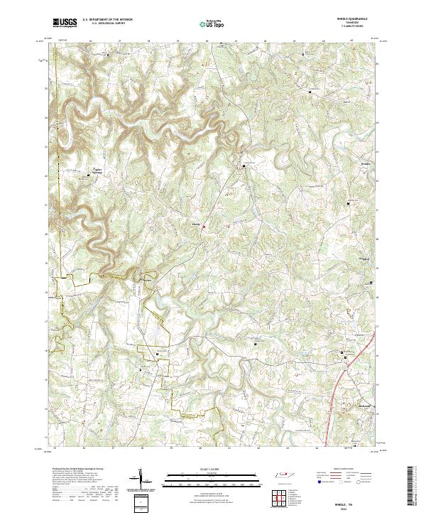
2022 Map of Windle
USGS Topo · Published 2022About this map
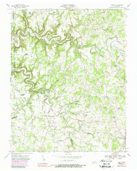
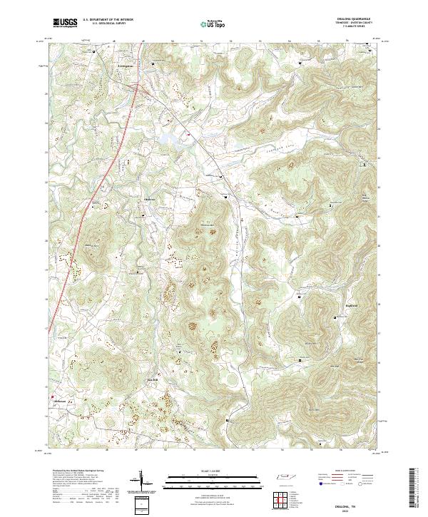
Roaring River and its numerous tributaries, including Buffalo Br and Lovelady Br, carve a intricate drainage pattern through this portion of the Highland Rim. The landscape is defined by its small upland settlements and a high density of rural cemeteries that speak to the deep genealogical roots of the area. Small communities such as Hardy, Waterloo, and Poplar Springs serve as local hubs, connected by a network of winding roads like Hardys Chapel RD and Terrapin Ridge RD. In the southern portion of the quadrangle, the terrain transitions toward the growing community of Rickman, situated near the county line. The map reveals the proximity of family and community burial grounds, such as Dodson Chapel Cem and Netherland Cem, which remain essential landmarks for local historians tracing the settlement patterns across the Overton and Putnam County border.
Find a feature on this map
145 named features on this map. Tap any name to fly to it.
Don’t see what you’re looking for? This feature index may not catch every label — zoom into the map to look around manually.
Map Details
Editions of this 2022 Windle Map
This is the sole edition of this map. No revisions or reprints were ever made.
Historical Maps of Fairview Estates Through Time
14 maps found

1897 Standingstone
Overton County, TN
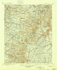
1898 Standingstone
Overton County, TN
1946 Obey City
Overton County, TN
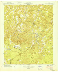
1950 Obey City
Overton County, TN
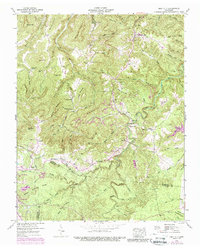
1951 Windle
Overton County, TN
1954 Crawford
Overton County, TN
1955 Okalona
Overton County, TN
1955 Windle
Overton County, TN
1956 Alpine
Overton County, TN
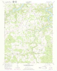
2022 Alpine
Overton County, TN
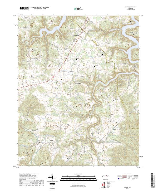
2022 Crawford
Overton County, TN
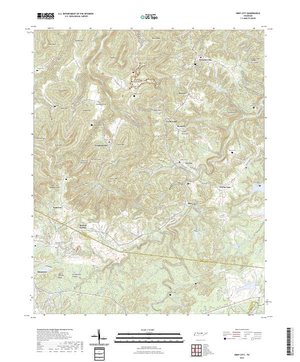
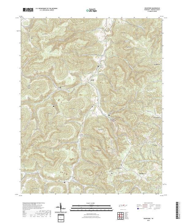
2022 Obey City
Overton County, TN
2022 Okalona
Overton County, TN
2022 Windle
Overton County, TN