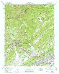
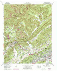
1968 Map of Windrock
USGS Topo · Published 1977About this map
Buffalo Mountain and Walden Ridge dominate this East Tennessee landscape, where the coal industry of the late 1960s meets the atomic-age development of the Oak Ridge area. The map illustrates a region defined by complex terrain and industrial utility, from the extensive Strip mine operations dotting the northern ridges to the urban expansion of Oliver Springs and Kelley Town along the southern valleys. Researchers will find a high density of family cemeteries such as Harkness Cem, Seiber Cem, and Lively Cem tucked into the hollows of Dutch Valley. The presence of the Atomic Energy Museum and several modern schools like Robertsville High School contrasts sharply with the traditional settlement patterns in Khotan Hollow and Suck Hollow. The Southern railroad line serves as a critical corridor through the gap, linking the mining operations at Windrock to the growing residential and technical hubs of the valley.
Find a feature on this map
119 named features on this map. Tap any name to fly to it.
Don’t see what you’re looking for? This feature index may not catch every label — zoom into the map to look around manually.
Map Details
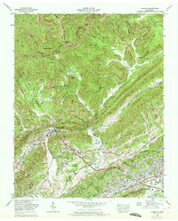
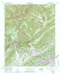
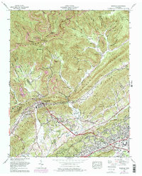
Editions of this 1968 Windrock Map
5 editions found
Other maps of this area

1893 · Briceville
USGS Topo · 1:125,000

1895 · Loudon
USGS Topo · 1:125,000

1895 · Briceville
USGS Topo · 1:125,000

1896 · Briceville
USGS Topo · 1:125,000

1935 · Elverton
USGS Topo · 1:24,000

1935 · Bethel Valley
USGS Topo · 1:24,000

1935 · Lovell
USGS Topo · 1:24,000

1936 · Hogbell Gap
USGS Topo · 1:24,000

1936 · Duncan Flats
USGS Topo · 1:24,000

1936 · Windrock
USGS Topo · 1:24,000