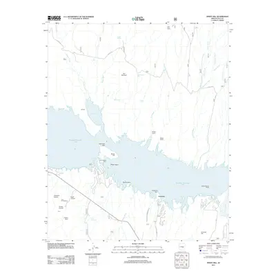
2011 Map of Windy Hill
USGS Topo · Published 2011About this map
Theodore Roosevelt Lake dominates this central Arizona landscape, its intricate shoreline forming numerous coves and islands such as Salome Cove and Saddle Island. The map documents a blend of ancient heritage and modern recreation, featuring the Tonto Cliff Dwellings tucked into the southern canyons alongside the developed facilities of Grapevine and the Windy Hill Boat Ramp. This area of the Tonto National Forest is defined by its water management infrastructure and recreational hubs like the Grapevine Group Site.
Find a feature on this map
42 named features on this map. Tap any name to fly to it.
Don’t see what you’re looking for? This feature index may not catch every label — zoom into the map to look around manually.
Map Details
Editions of this 2011 Windy Hill Map
This is the sole edition of this map. No revisions or reprints were ever made.
Other maps of this area

1907 · Roosevelt
USGS Topo · 1:125,000

1909 · Four Peaks
USGS Topo · 1:125,000

1912 · Roosevelt
USGS Topo · 1:125,000

1922 · Chrysotile
USGS Topo · 1:125,000

1949 · McFadden Peak
USGS Topo · 1:62,500

1949 · Rockinstraw Mtn
USGS Topo · 1:62,500

1950 · Rockinstraw Mtn
USGS Topo · 1:62,500

1950 · McFadden Peak
USGS Topo · 1:62,500

1954 · Mesa
USGS Topo · 1:250,000

1957 · Mesa
USGS Topo · 1:250,000