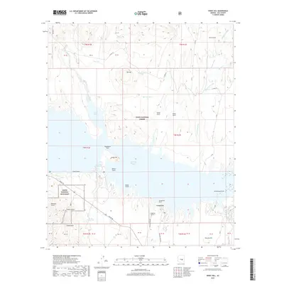
2018 Map of Windy Hill
USGS Topo · Published 2018About this map
Theodore Roosevelt Lake dominates this central Arizona landscape, its irregular shoreline reaching into numerous canyons and coves. The map captures the meeting of managed water and protected wilderness within the Tonto National Forest, specifically highlighting the area around the Tonto National Monument. This park preservation effort protects archaeological sites accessible via the Upper Cliff Dwelling Trail, reflecting the area's deep history of human habitation.
Find a feature on this map
54 named features on this map. Tap any name to fly to it.
Don’t see what you’re looking for? This feature index may not catch every label — zoom into the map to look around manually.
Map Details
Editions of this 2018 Windy Hill Map
This is the sole edition of this map. No revisions or reprints were ever made.
Other maps of this area

1907 · Roosevelt
USGS Topo · 1:125,000

1909 · Four Peaks
USGS Topo · 1:125,000

1912 · Roosevelt
USGS Topo · 1:125,000

1922 · Chrysotile
USGS Topo · 1:125,000

1949 · McFadden Peak
USGS Topo · 1:62,500

1949 · Rockinstraw Mtn
USGS Topo · 1:62,500

1950 · Rockinstraw Mtn
USGS Topo · 1:62,500

1950 · McFadden Peak
USGS Topo · 1:62,500

1954 · Mesa
USGS Topo · 1:250,000

1957 · Mesa
USGS Topo · 1:250,000