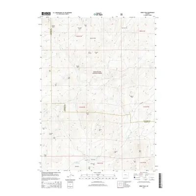
2015 Map of Windy Peak
USGS Topo · Published 2015About this map
Medicine Bow National Forest covers much of this high-elevation landscape along the boundary of Albany and Converse counties. The terrain is defined by a series of prominent peaks and canyons, including Windy Peak, Buzzard Peak, and the distinctive granite formations of The Needles. Numerous creeks such as N Horseshoe Cr and Beaver Cr drain the slopes, while isolated landmarks like Graveyard Hill and Wagon Wheel Spring provide specific points of interest for those tracing local geography. Settlement is sparse, represented primarily by Esterbrook Rd cutting through the southeastern portion of the map. The collection of family-named or descriptive features like Pugilist Gulch, Bar M Mtn, and Trethway Mtn suggests a history of ranching and land use common to this part of the Laramie Mountains.
Find a feature on this map
61 named features on this map. Tap any name to fly to it.
Don’t see what you’re looking for? This feature index may not catch every label — zoom into the map to look around manually.
Map Details
Editions of this 2015 Windy Peak Map
This is the sole edition of this map. No revisions or reprints were ever made.
Other maps of this area

1943 · Esterbrook
USGS Topo · 1:62,500

1945 · Esterbrook
USGS Topo · 1:62,500

1954 · Torrington
USGS Topo · 1:250,000

1958 · Torrington
USGS Topo · 1:250,000

1964 · Toltec
USGS Topo · 1:24,000

1964 · School Section Mountain
USGS Topo · 1:24,000

1964 · Saddleback Mountain
USGS Topo · 1:24,000

1964 · Windy Peak
USGS Topo · 1:24,000

1968 · Cow Creek Mountain
USGS Topo · 1:24,000

1968 · Cottonwood Creek
USGS Topo · 1:24,000