Loading...
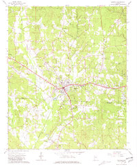
Loading map...1967 Map of Winfield
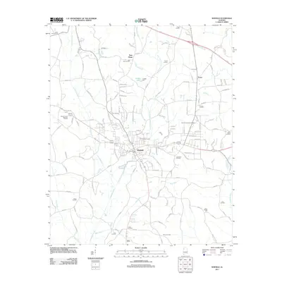
USGS Topo · Published 1981About this map
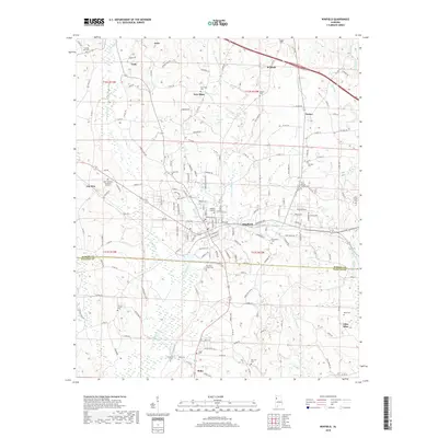
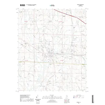
Winfield and the neighboring settlements of Gu-Win and Glen Allen anchor this mid-century portrait of the border between Marion and Fayette Counties. The St Louis-San Francisco railroad tracks bisect the landscape, providing a clear corridor for industry and growth alongside the winding Luxapallila Creek. This period reveals a community balancing institutional growth and rural traditions, evidenced by the presence of a central Hosp, a local Nursing Home, and the Agriculture Experiment Station located just south of the city limits.
Find a feature on this map
50 named features on this map. Tap any name to fly to it.
Don’t see what you’re looking for? This feature index may not catch every label — zoom into the map to look around manually.
Map Details
Date Portrayed1967
Date Published1981
PublisherU.S. Geological Survey
Map TypeTopographic
Scale1:24,000
Physical Dimensions21.9 x 26.6 inches
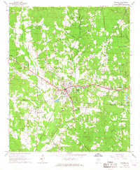
Editions of this 1967 Winfield Map
3 editions found
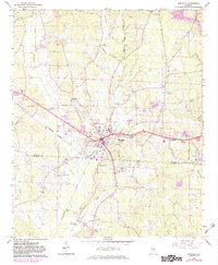
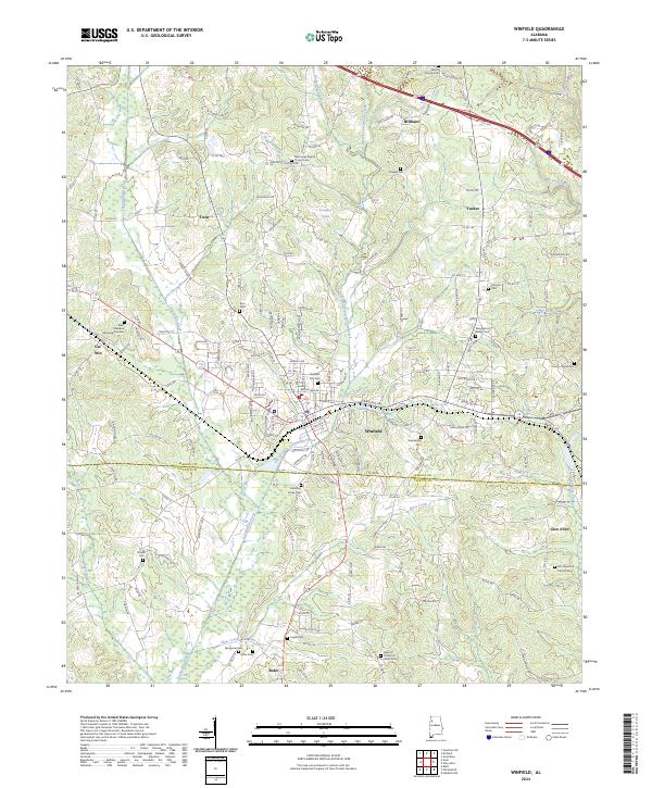
Historical Maps of Winfield Through Time
6 maps found

Featured Locations
Source Details
SourceU.S. Geological Survey
CopyrightPublic Domain