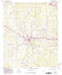
1967 Map of Winfield
USGS Topo · Published 1983About this map
Winfield serves as the central hub of this 1960s landscape, where the Burlington Northern railway intersects with local commerce and civic life. The town's layout includes a Nursing Home, Hosp, and Waterworks, while the surrounding hills are dotted with family-centered landmarks and community gathering points. Religious life is well-documented through a dense network of country churches, including New Hope Ch, Zion Ch, and Happy Hill Ch.
Find a feature on this map
53 named features on this map. Tap any name to fly to it.
Don’t see what you’re looking for? This feature index may not catch every label — zoom into the map to look around manually.
Map Details
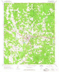
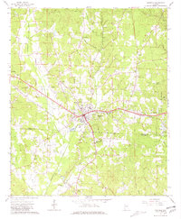
Editions of this 1967 Winfield Map
3 editions found
Other maps of this area

1953 · Birmingham
USGS Topo · 1:250,000

1956 · Birmingham
USGS Topo · 1:250,000

1956 · Gadsden
USGS Topo · 1:250,000

1957 · Birmingham
USGS Topo · 1:250,000

1958 · Gadsden
USGS Topo · 1:250,000

1958 · Gold Mine
USGS Topo · 1:24,000

1960 · Gadsden
USGS Topo · 1:250,000

1963 · Gadsden
USGS Topo · 1:250,000

1967 · Winfield SE
USGS Topo · 1:24,000

1967 · Hubbertville
USGS Topo · 1:24,000