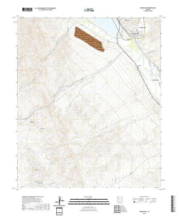
2021 Map of Winkelman
USGS Topo · Published 2021About this map
The confluence of the Gila River and the San Pedro River anchors this desert landscape in southern Arizona. The neighboring towns of Hayden and Winkelman sit at this vital junction, where the river valley transitions into the rising slopes of the Tortilla Mountains. Industrial footprints are evident near the riverbanks, particularly along Asarco Dr and the local rail infrastructure, reflecting the long-standing copper-processing economy of the region.
Find a feature on this map
39 named features on this map. Tap any name to fly to it.
Don’t see what you’re looking for? This feature index may not catch every label — zoom into the map to look around manually.
Map Details
Editions of this 2021 Winkelman Map
This is the sole edition of this map. No revisions or reprints were ever made.
Other maps of this area

1910 · Ray
USGS Topo · 1:62,500

1911 · Winkelman
USGS Topo · 1:125,000

1913 · Winkelman
USGS Topo · 1:125,000

1915 · Christmas
USGS Topo · 1:62,500

1917 · Christmas
USGS Topo · 1:62,500

1949 · Holy Joe Peak
USGS Topo · 1:62,500

1949 · Crozier Peak
USGS Topo · 1:24,000

1949 · Winkelman
USGS Topo · 1:24,000

1949 · Winkelman
USGS Topo · 1:62,500

1949 · Saddle Mtn.
USGS Topo · 1:24,000