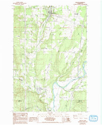
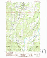
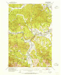
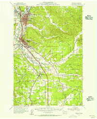
1985 Map of Winlock
USGS Topo · Published 1993About this map
Winlock and Vader anchor this section of Lewis County, where the Burlington Northern railroad corridor tracks alongside Olequa Creek. The landscape transitions from the developed town centers to the fertile basins of Grand Prairie Creek and the banks of the Cowlitz River in the south. Local history and genealogy are preserved at the Winlock Cem and the Stillwater Little Falls Cemetery, providing specific points of interest for researchers tracking family roots in the region.
Find a feature on this map
55 named features on this map. Tap any name to fly to it.
Don’t see what you’re looking for? This feature index may not catch every label — zoom into the map to look around manually.
Map Details
Editions of this 1985 Winlock Map
2 editions found
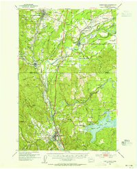
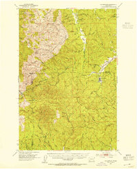
Other maps of this area

1916 · Chehalis
USGS Topo · 1:125,000

1941 · Meskill
USGS Topo · 1:62,500

1941 · Olequa
USGS Topo · 1:62,500

1953 · Hoquiam
USGS Topo · 1:250,000
1953 · Castle Rock
USGS Topo · 1:62,500
1953 · Ryderwood
USGS Topo · 1:62,500
1953 · Adna
USGS Topo · 1:62,500
1954 · Centralia
USGS Topo · 1:62,500

1957 · Hoquiam
USGS Topo · 1:250,000

1958 · Hoquiam
USGS Topo · 1:250,000