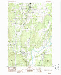
1985 Map of Winlock
USGS Topo · Published 1985About this map
Winlock and Vader anchor this mid-1980s landscape, positioned along a critical transportation corridor where the Burlington Northern and Union Pacific railroads parallel Olequa Creek. The topography is defined by the transition from the upland reaches of Finn Hill and Grand Prairie Creek down to the broad channel of the Cowlitz River in the south. This survey reveals a community-focused geography, showing the Mt. St. Helens High Sch. and local landmarks like the Little Falls Cemetery. The southern boundary, marked by the Lewis Co Cowlitz Co line, includes the northern extent of Barnes State Park. From industrial Gravel Pits to a rural Landing Strip, the map documents a region balancing its timber-and-rail heritage with preserved natural spaces.
Find a feature on this map
36 named features on this map. Tap any name to fly to it.
Don’t see what you’re looking for? This feature index may not catch every label — zoom into the map to look around manually.
Map Details
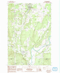
Editions of this 1985 Winlock Map
2 editions found
Other maps of this area

1916 · Chehalis
USGS Topo · 1:125,000

1941 · Meskill
USGS Topo · 1:62,500

1941 · Olequa
USGS Topo · 1:62,500

1953 · Hoquiam
USGS Topo · 1:250,000

1953 · Castle Rock
USGS Topo · 1:62,500

1953 · Ryderwood
USGS Topo · 1:62,500

1953 · Adna
USGS Topo · 1:62,500

1954 · Centralia
USGS Topo · 1:62,500

1957 · Hoquiam
USGS Topo · 1:250,000

1958 · Hoquiam
USGS Topo · 1:250,000